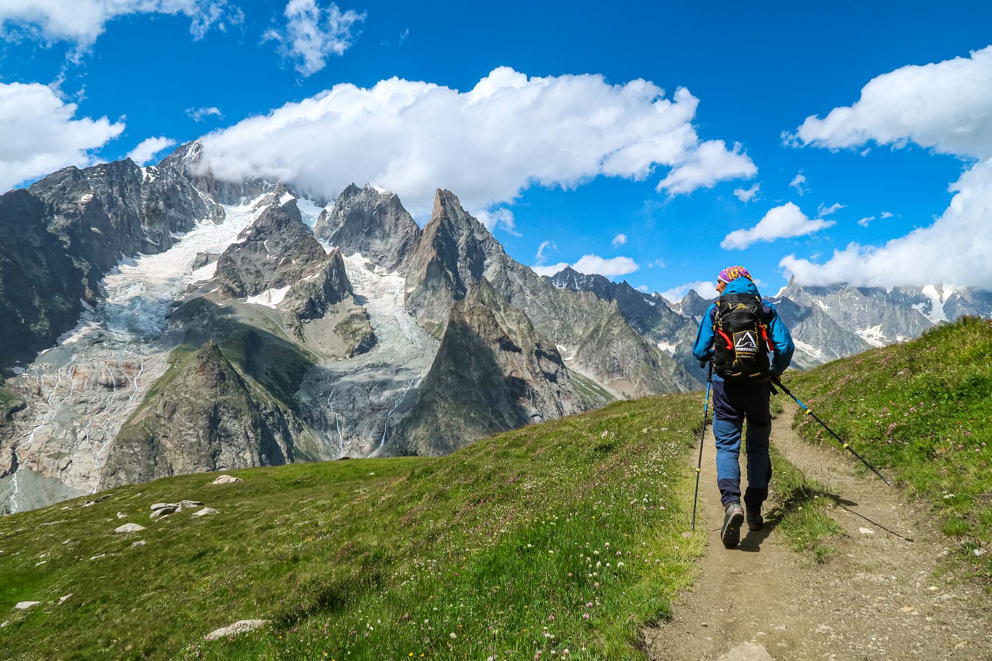
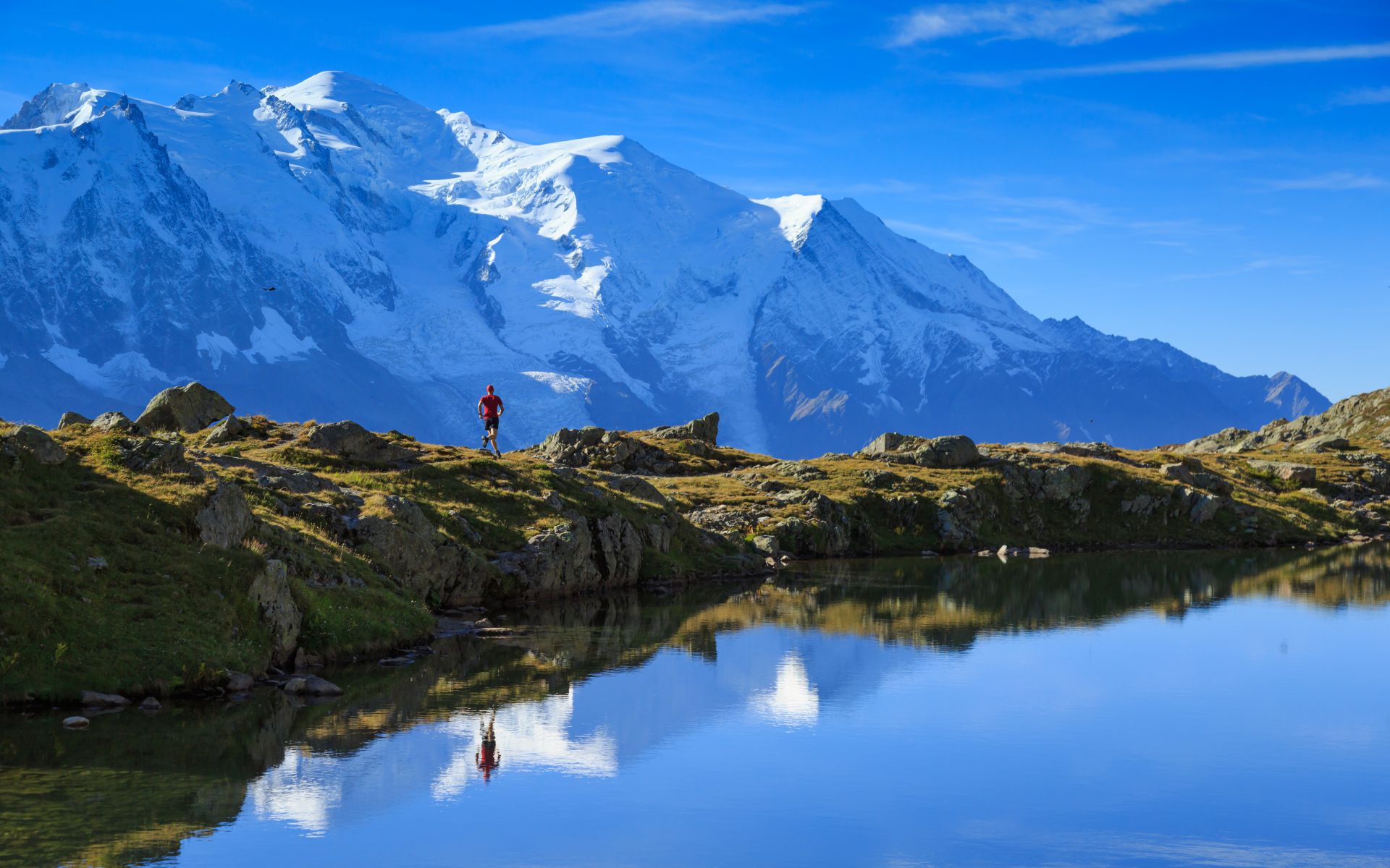
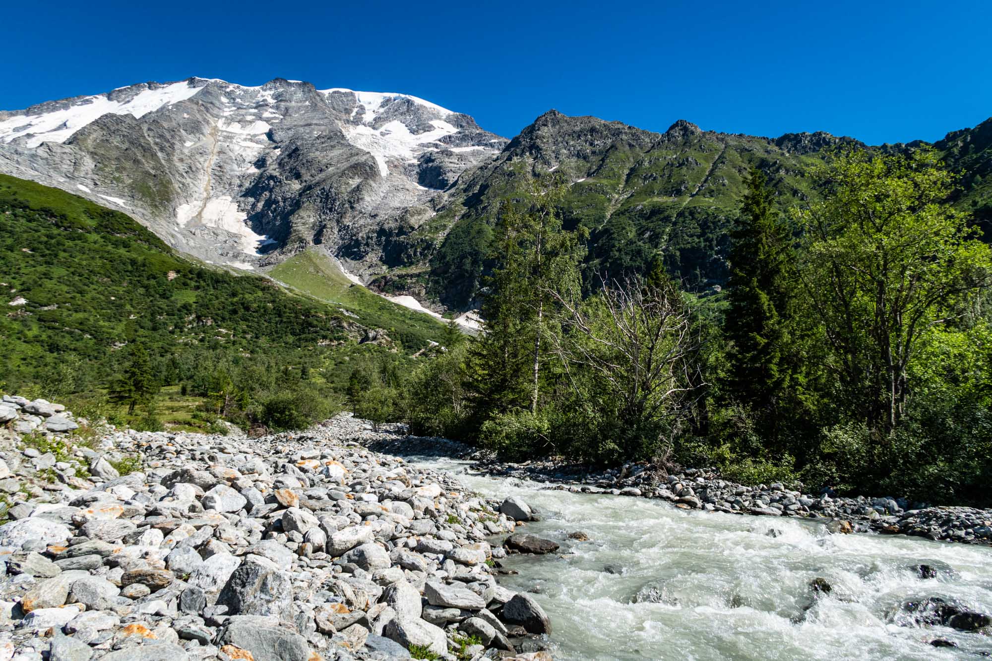
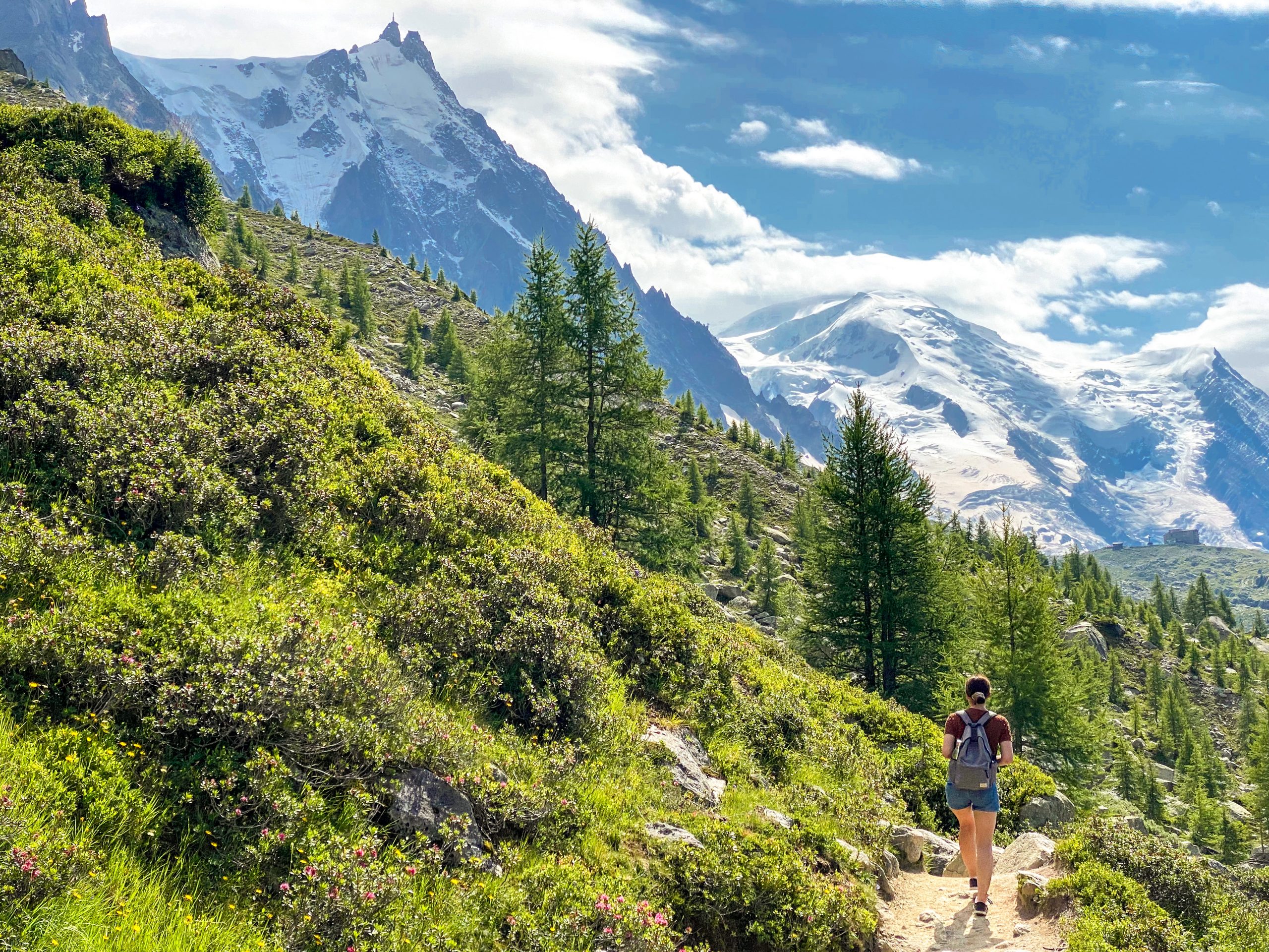
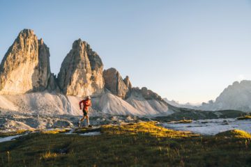
Embark on an awe-inspiring journey through the valleys surrounding the iconic Mont Blanc massif, where glacial wonders transport you to a Himalayan-like realm. This self-guided hiking adventure will lead you on a cross-border exploration, offering a variety of routes through Italy, France, and Switzerland.
Tour-Highlights:
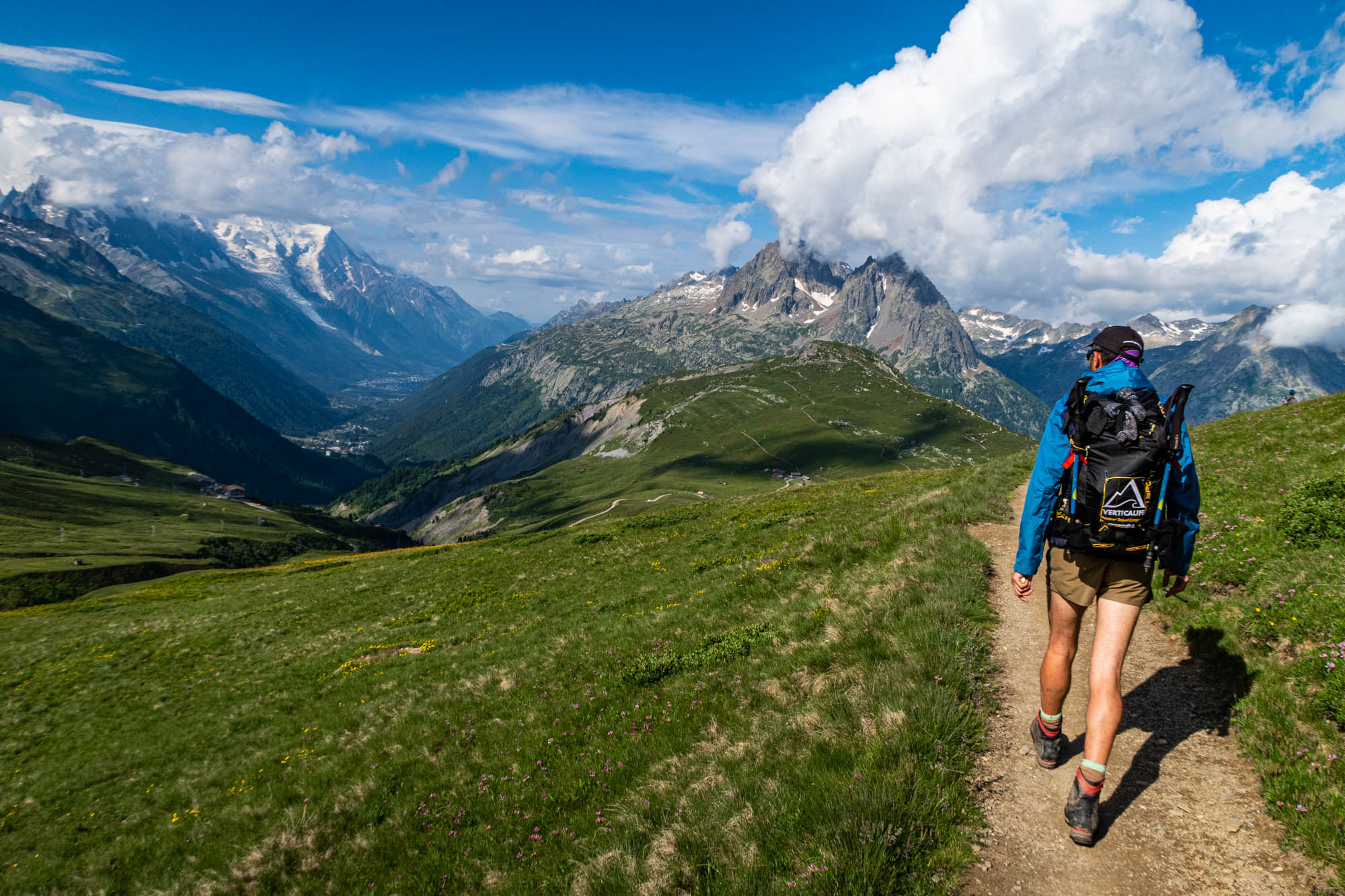
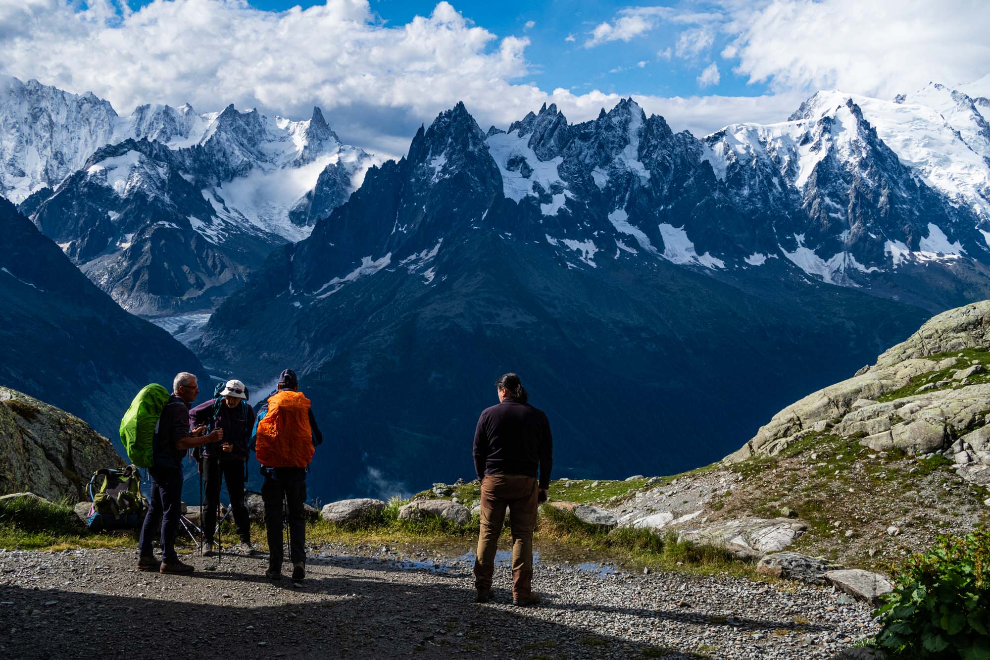
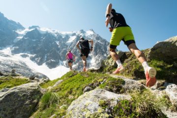
- Panoramic Alpine Passes: Traverse the Mont Blanc region and embark on an exhilarating adventure through magnificent trails suitable for hikers of all skill levels. As you cross international borders, you’ll witness diverse landscapes and unparalleled vistas.
- Moderate Stages with Local Flavors: Immerse yourself in the charm of local culture during leisurely stages designed for your enjoyment. Convenient local buses simplify lower valley sections, making your journey even more pleasurable.
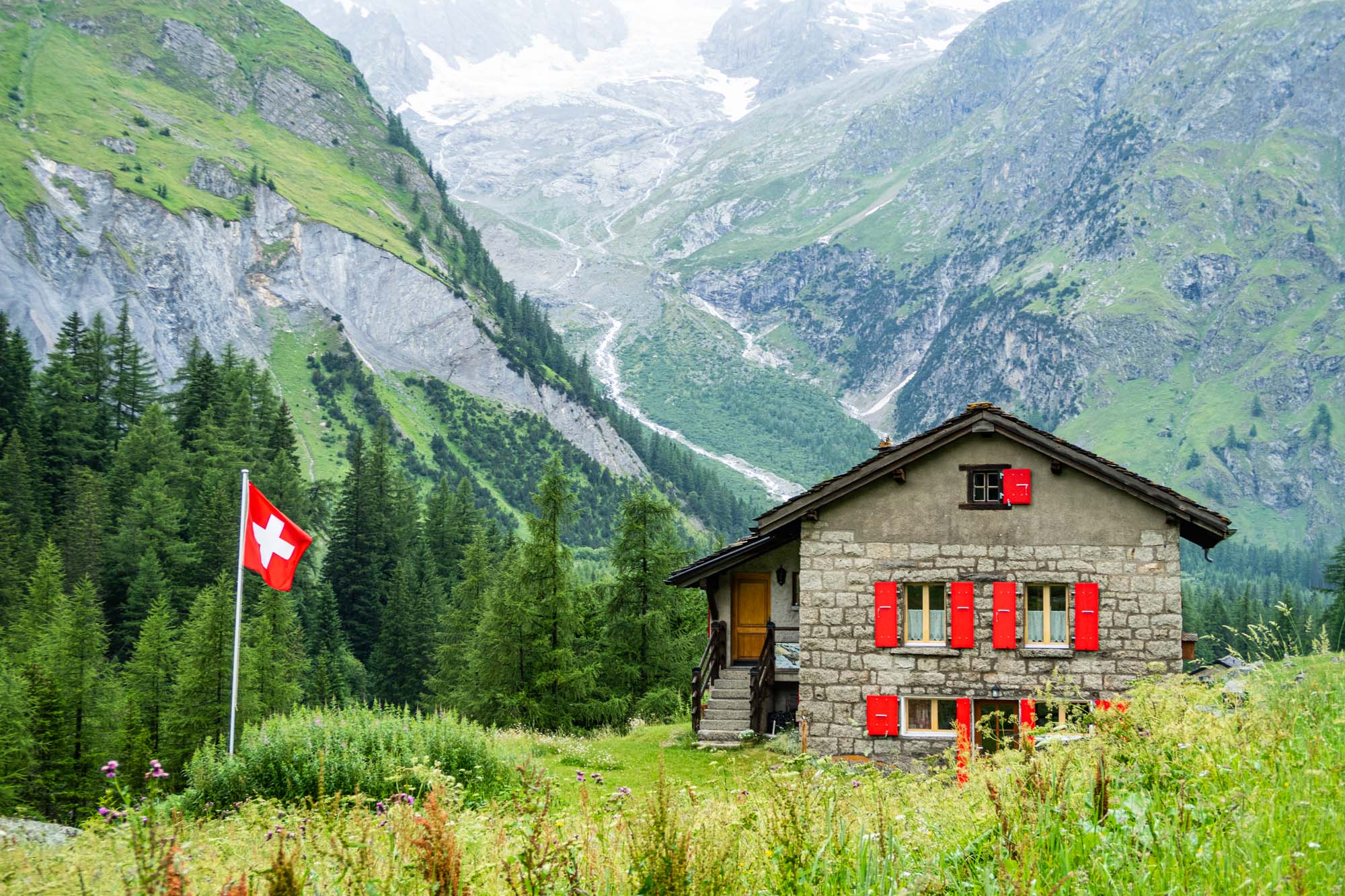
- Comfortable Overnight Stays: After each day’s exploration, relax in cozy small hotels, where you’ll savor delectable regional cuisine. Recharge in the heart of the picturesque Mont Blanc region, preparing for each day’s adventure.
Unveil the captivating trails of the Mont Blanc region at your own pace with our self-guided tour, equipped with maps and GPS waypoints. This is your opportunity to immerse yourself in the beauty of the Alps, experience local culture, and explore one of the world’s most iconic mountain regions on your terms.
With the Mont Blanc Panoramic Trek, you can witness the grandeur of the Mont Blanc massif and its glacial wonders without the constraints of a set itinerary. Immerse yourself in the beauty of the Alps, experience local culture, and explore one of the world’s most iconic mountain regions on your terms.
| Anfang | Juli bis September | |||||
| Abfahrtszeit | Flexibel | |||||
| IM PREIS INBEGRIFFEN |
|
|||||
| NICHT IM PREIS INBEGRIFFEN |
|
*Diese Tour basiert auf einer Mindestteilnehmerzahl von zwei Personen. Im Preis sind ausschließlich die oben genannten Leistungen enthalten.
Luggage transfer is optional
Additional information
| Monat | August, Juli, September |
|---|
Tag 1: Ankunft
Arrival in Courmayeur and accommodation in hotel.
Day 2:
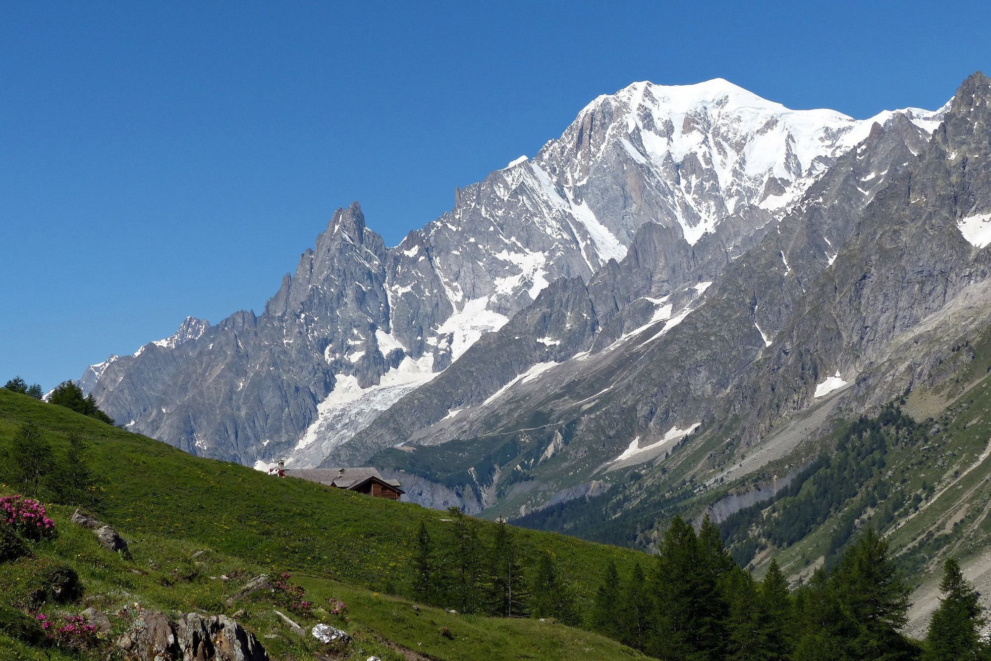
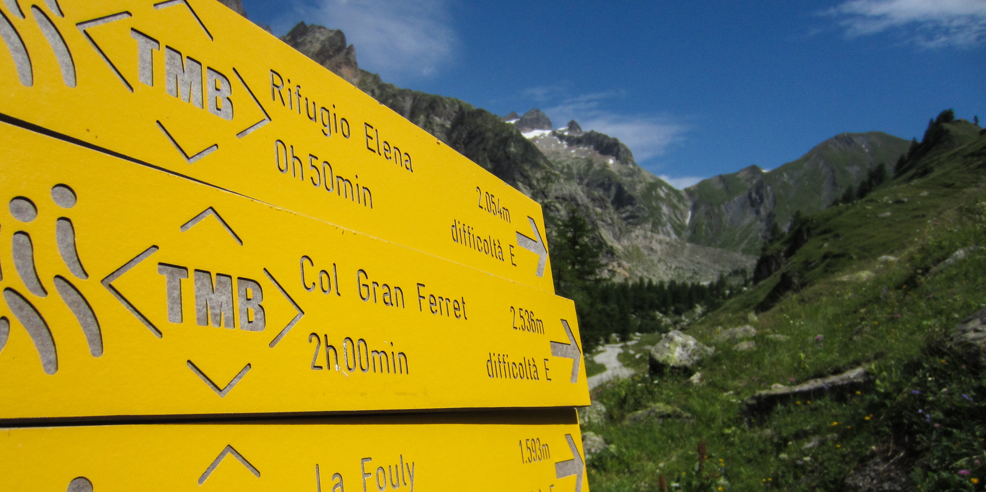
Courmayeur – Bus to Arnouva (1770 m.) – Trek Rifugio Elena (2.062m.) – Gran Ferret pass (2.537 m.) – La Fouly (1592 m.).
First day of the trek begins in the lush Val Ferret, below the Gran Jorasses peaks, with the trail leading up to the Gran Ferret Pass, facing the Triolet Glacier. The descent in Switzerland is on a beautiful trail surrounded by meadows getting then to the small La Fouly village. Dinner is included at the hut on the first night of the trek.
Tourdaten:
Länge: 12 km
Duration: App. 5 hours 30 min
H+: 800 m
H-: 900 m
Day 3:
Bus to Champex-Lac (1470 m.) Trek to Bovine (1975 m.) – Col de la Forclaz pass (1526 m.) – Trient (1297 m.) / alternative route through Fenetre d’Arpette (2.665 m.) – private transfer to Martigny.
With a short bus ride you’ll get to Champex Lac from where you’ll reach Trient crossing the easier Bovine pass or by the demanding Fenetre d’Arpette, facing the Trient glacier and between incredible rocky towers. The driver will wait at the end for the transfer to Martigny. Dinner is included at the hut on the second night of the trek.
The trail leading to Fenetre d’Arpette is stony and rocky, as quite steep in the last section, so only for people with experience on this type of trails.
Tourdaten:
Länge: 16 km
Duration: App. 5 hours
H+: 750 m
H-: 1000 m
Day 4:
Private transfer to Trient (1297 m.) Trek Col de la Balme (2.191 m.) – Le Tour (1.543 m.) – Bus to Chamonix (1037 m.).
Back to Trient you’ll start the day with a long but regular walk up to the Col du Balme pass and refuge, from where the Mont Blanc view get unfolded! The descent in the Chamonix valley with the views over Aiguille du Tour and Aiguille Verte is amazing!
On the way up it’s possible to extend the tour passing by Refuge les Grandes and the balcony trail leading to Col du Balme pass. On the way down from the pass it’s possible to extend the route passing by the Aiguillette des Poisettes and then going down to Le Tour.
Tourdaten:
Length: 11 km
Duration: App. 5 hours 30 min
Height +: 1000 m
Height-: 800 m
Day 5:
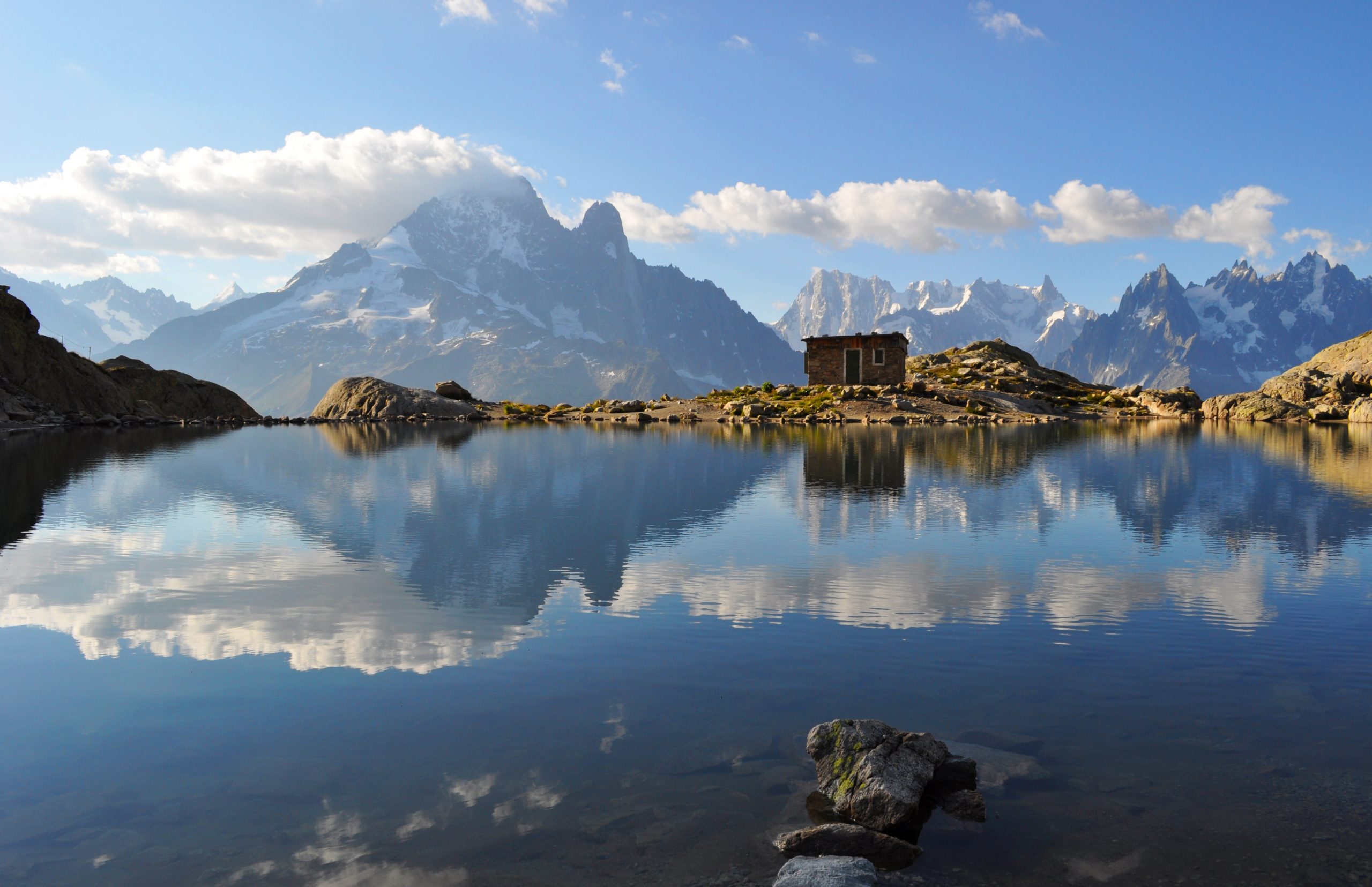
Bus to Argentiere (1320 m.) – Trek to Refuge du Lac Blanc (2352 m.) – Refuge de la Flegere (1913 m.) – Cable car to Chamonix (1037 m.).
Today you’ll explore the west side of the Chamonix valley, getting up to Refuge du Lac Blanc, one of the most beautiful spot on the circuit, facing all the summits of the mountaineering history! The descend can be done with cable cars or by walk. A nice moment to visit as well the Chamonix village, a vibrant alpine centre.
Possible to extend the stage walking down from La Flegere to Chamonix.
Tourdaten:
Länge: 10 km
Duration: App. 5 hours 30 min
H+: 1100 m
H-: 500 m
Day 6:
Bus to Les Houches (1.003 m.) – cable car to Bellevue (1.801 m.) – Trekking Col de Tricot (2120 m.) – Refuge de Miage (1559 m.) – Les Contamines Montjoie (1162 m.).
Der heute lange Weg führt durch Wiesen, Flüsse und Wälder unterhalb des Dome du Goutier und der Aiguille de Bionassay hinauf zum Panorama-Col Tricot und dann durch das unberührte Tal unterhalb des Glacier du Miage, um schließlich im Dorf Les Contamines Montjoie anzukommen.
Tourdaten:
Länge: 14 km
Duration: App. 5 hours
H+: 500 m
H-: 1200 m
Day 7:
Trek Refuge de Nant Borrant (1525 m.) – Refuge de la Balme (1706 m.) – Refuge de la Crux de Bonhomme (2433 m.) – Les Chapieux (1560 m.) – private transfer to Bourg Saint Maurice.
Ein langer Tag, der mit atemberaubenden Ausblicken und einer wunderschönen Umgebung belohnt wird. Von Les Contamines führt der Weg talwärts bis zum Col de la Crux de Bonhomme, von wo aus der Abstieg durch Wiesen und Weiden nach Les Chapieux führt. Ein privater Transfer bringt Sie nach Bourg S. Maurice.
As in Les Chapieux (Refuge de la Nova, Chambre du Soleil, and the nearby Refuge des Mottets) it’s very difficult to find availability, we provide a private transfer down to Bourg S. Maurice where there’re more accommodations. The day after another private transfer will drive you back to Les Chapieux and Ville de Glaciers where you will start again the trekking.
Tourdaten:
Länge: 16 km
Duration: App. 7 hours 30 min
H+: 1300 m
H-: 1000 m
Day 8:
Private transfer to Ville de Glaciers -Trek to Refuge des Mottets (1870 m.) – Col de la Seigne pass (2510 m.) – Rifugio Elisabetta (2197 m.) – La Visaille (1659 m.) – Bus to Courmayeur (1220 m.).
Last day of the circuit will bring you back to Italy, crossing one of the most beautiful pass of the tour and leading to the Val Veny, where the sharp Aiguille Noire appears in all its majesty. The descent back to Courmayeur will pass through Rifugio Elisabetta below the Aiguilles de Trelatete and nearby the huge Miage glacies.
Before la Visaille is possible to extend the stage taking the Val Veny balcony trail leading to Rifugio Maison Vieille and then La Visaille.
Tourdaten:
Länge: 16 km
Duration: App. 5 hours 30 min
H+: 800 m
H-: 900 m
Day 9:
Trek Courmayeur (1220 m.) – Rifugio Bertone (1977 m.) – Rifugio Bonatti (2026 m.) – Arnouva (1770 m.) – Public bus to Courmayeur and departure.
Final day with a day hike from Courmayeur to explore properly the Ferret Valley, with great views over the Grand Jorasses and the Aiguille Noire, passing by the Rifugio Bertone and Rifugio Bonatti.
Possible to shorten the stage hiking only to Rifugio Bertone and getting down to Val Ferret with a ring itinerary (about 4 hours).
Tourdaten:
Length: 17,5 km
Duration: App. 6 hours
H+: 1000 m
H-: 600 m
By plane: Nearest airports are Milano, Turin or Geneva.
Transfers to/from the tour starting/ending point are not included. Let us know if you need help booking this.
Mitzubringende Ausrüstung und Kleidung für alpine Wanderungen und Läufe
Wir haben eine Liste der wichtigsten Dinge zusammengestellt, die Sie für Ihr Abenteuer in der freien Natur benötigen. Während jede Reise ihre eigenen Mindestanforderungen hat, haben wir die Liste in „unnötig“ und „nice-to-have“ unterteilt.
Haben müssen:
Leichte, wasserdichte Hülle
Sonnenschutzmittel mit hohem Lichtschutzfaktor
Smartphone mit relevanter Reise-App sowie einer WhatsApp- und Codenummer für Ihren Vertreter vor Ort
Überlebensdecke
Dünne Mütze, Mütze und dünne Handschuhe (Merino oder ähnliches)
Tagesrucksack zum Wandern (Touren mit Gepäcktransport)
Seesack oder ähnliches (Reisen mit Gepäcktransport) – NICHT in Koffer packen.
30 L Rucksack auf Reisen bis zu sechs Tagen (ohne Gepäcktransport)
40 L Rucksack bei Reisen von mehr als sechs Tagen (ohne Gepäcktransport)
Schnell trocknende Innenschicht
Shorts (schnell trocknend)
Technisches T-Shirt (schnell trocknend)
Fleecepullover für kühle Abende
Eine bequeme Jogginghose o.ä. für die Hütten
Gute Bergschuhe – Trailrunning-Schuhe oder Wanderschuhe
Leichtes Handtuch
Wasserflasche (1,5 l)
Ein Paar dicke Socken oder leichte Hausschuhe (oft kann man sich in den Hütten ein Paar ausleihen)
Sonnenbrille
Ein paar Energieriegel, Früchte oder ähnliche Snacks für die Reise
Bettlaken – kann auch vor Ort erworben werden (nur bei Unterbringung in einem Wohnheim)
Kleines Erste-Hilfe-Set
Comped oder ähnliches
Schlafsack (bei ausgewählten Touren)
Schön zu haben:
Wanderstöcke
Powerbank
Schokolade
Sandalen für die Hütten
Plastiktüten, um die Dinge trocken zu halten


Tour Reviews
There are no reviews yet.
Leave a Review